Map Scale

Facts About Madagascar:
- 587,040 km2 (area)
- Highest point is Mount Maromokotro (2,876 m)
- Lowest point is sea level
- 3 pm = noon GMT
- 4,828 m of coastline (surrounded by water)
- 22 km (territorial sea limits)
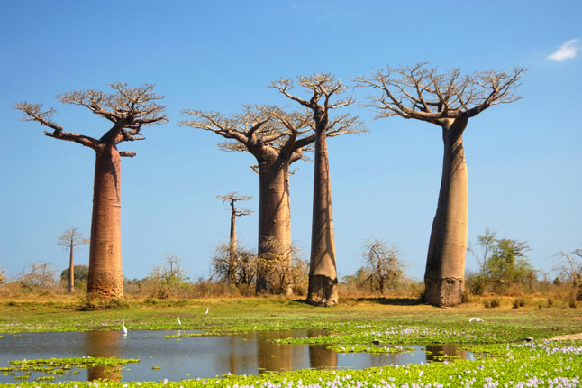
- the coast is the hottest
- 3 topographic regions
- located in the southwestern part of the Indian Ocean
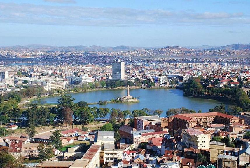
- Antananarivo is the capital